Feature
Route Risk

Understand where crashes occur
As part of the Lytx Lab, Route Risk1 analyzes historical crash data with machine learning to identify where crashes are most likely to occur. We’ve analyzed more than 50 million accident reports representing 10 years of crashes across the US.
Get In Touch
How It Works

Explore hazards near you
Discover potential hazards on roads and intersections near you using the hazard map. Learn what to watch out for in hot spots with a high frequency of slowing traffic, pedestrians crossing, children playing, deer roaming, or one of more than 25 other potential hazard types. Tap an icon to see historical incident information. Tap again to zoom in and see more detail.

See hazard details
Get detailed information for each potential hazard. See exactly where collisions have previously occurred. Learn the times of day that historically can be the most dangerous. Determine whether crashes are trending up over time. Experience an animated 3D aerial view of the location.

Get alerts while driving
Start "Driving Mode" to get real-time alerts1 for potential active hazards as you approach them. A hazard is considered active if current conditions such as traffic, weather, and time are similar to when most incidents occur. Start driving mode before launching your preferred navigation app to get Route Risk potential hazard alerts in the background.

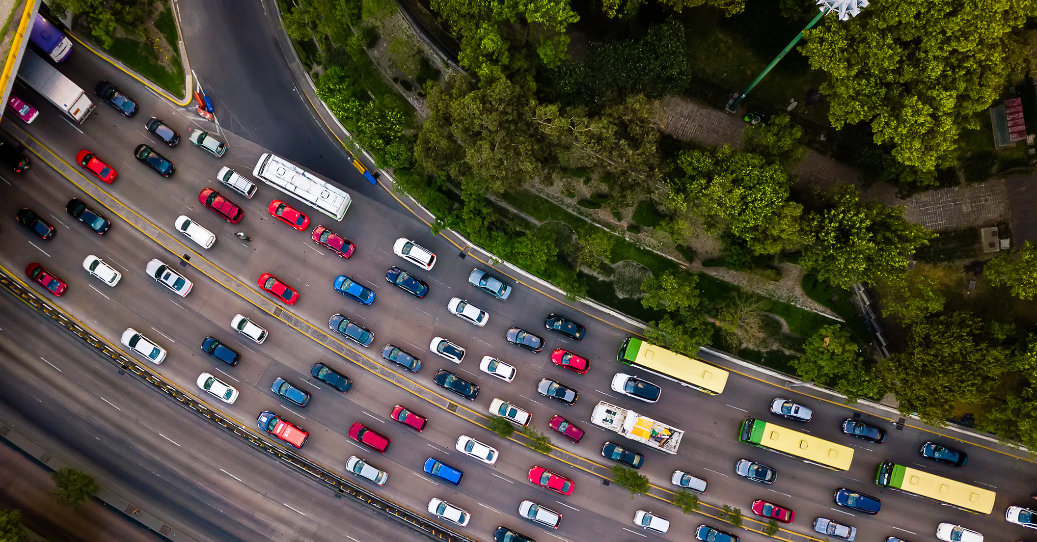
Avoid collisions caused by traffic
Rear-end collisions caused by unexpectedly slowing traffic are the most common type of preventable crash, however not all slowing traffic leads to collisions. Route Risk uses live traffic data together with crash hazard analysis to warn where rear-end collisions are most likely. Route Risk uses live traffic data to help you avoid other common collisions such as those caused by merging and turning vehicles.

Be prepared for inclement weather
See where weather can contribute to collisions. For example, slowing traffic may lead to collisions in fog. Weather icons on potential hazards indicate where weather conditions such as snow, rain, and fog can contribute to collisions. Driving mode uses live weather data to provide real-time weather specific alerts2.
1Use of Route Risk app is entirely at your own risk. Alerts require cellular connectivity and may not be accurate. Data may not be presented in real time. This is a driver aid only; and is not a substitute for a safe, conscientious driver. Whether or not Route Risk is in use, it is always the responsibility of the driver to be attentive, use safe driving techniques and take measures to avoid an accident.
2Weather data comes from a third party and may be delayed or inaccurate.